NationLookup
Home
Countries
Compare
Explore
NationLookup

Your comprehensive resource for exploring detailed information about every country in the world. Discover demographics, geography, economy, and more.

Explore

  • All Countries
  • Rankings
  • Compare Countries

Popular Rankings

  • By Population
  • By Area
  • By Density
  • Largest Countries

Company

  • About Us
  • Contact Us
  • FAQ

Legal

  • Privacy Policy
  • Terms of Use
  • Disclaimer

© 2026 NationLookup. All rights reserved.

Data provided by REST Countries API

Home/Countries/Bouvet Island
The flag of Bouvet Island has a red field with a large white-edged navy blue cross that extends to the edges of the field. The vertical part of this cross is offset towards the hoist side.
🇧🇻

Bouvet Island

Bouvet Island

Antarctic
View on Google Maps

Population

0

Area

49 km²

Region

Timezone

UTC+01:00

Currency

Languages

Norwegian

Capital

UN Member

No

About Bouvet Island

Bouvet Island, commonly known as Bouvet Island, is a sovereign country located in , Antarctic. Situated on the continent of Antarctica, Bouvet Island covers a total area of 49 km², making it a relatively small country by global standards. Bouvet Island is a dependent territory.

The population of Bouvet Island is approximately 0 people. With a population density of 0.0 people per square kilometer, Bouvet Island is one of the most sparsely populated countries in the world. Bouvet Island ranks among the top 10 most populated countries in the world (0th).

Bouvet Island is located at approximately -54.4° latitude and 3.3° longitude. As an island or coastal nation with no land borders, Bouvet Island is surrounded by water. The country operates on the UTC+01:00 time zone.

The official language of Bouvet Island is Norwegian. The international dialing code for Bouvet Island is +47. The country's internet top-level domain is .bv.

Population of Bouvet Island

Total Population

0

Population Density

0.0 people/km²

Demonym

(male) / (female)

Geography of Bouvet Island

Total Area

49 km² (19 sq mi)

Region / Subregion

Antarctic

Coordinates

-54.4208°, 3.3464°

Continents

Antarctica

Landlocked

No

Timezones

UTC+01:00

Economy of Bouvet Island

Currencies

Government of Bouvet Island

Capital

UN Member

No

Status

officially-assigned

Independent

No

Languages Spoken in Bouvet Island

Norwegian

Additional Information

Top-Level Domain

.bv

Calling Code

+47

Driving Side

N/A

FIFA Code

N/A

ISO Codes

BV / BVT

Frequently Asked Questions About Bouvet Island

What is the population of Bouvet Island?

The population of Bouvet Island is approximately 0 people. With a total area of 49 km², the population density is about 0.0 people per square kilometer. Bouvet Island ranks among the top 10 most populated countries in the world (0th).

Where is Bouvet Island located?

Bouvet Island is located in , on the continent of Antarctica. Its geographic coordinates are approximately -54.4° latitude and 3.3° longitude.

How big is Bouvet Island?

Bouvet Island covers a total area of 49 km² (19 square miles). This makes Bouvet Island a relatively small country by global standards.

What languages are spoken in Bouvet Island?

The official language of Bouvet Island is Norwegian. The people of Bouvet Island are referred to as s.

Is Bouvet Island a member of the United Nations?

No, Bouvet Island is not currently a member of the United Nations. Bouvet Island is classified as a dependent territory or non-sovereign entity.

What time zone is Bouvet Island in?

Bouvet Island operates in the UTC+01:00 time zone.

What are the key facts about Bouvet Island?

Bouvet Island (officially Bouvet Island) is a dependent country in . It has a population of 0, covers 49 km², and its capital is not designated. The official language is Norwegian.

Compare Bouvet Island with Other Countries

See how Bouvet Island compares in population, area, and other key metrics.

Bouvet Island vs United StatesBouvet Island vs ChinaBouvet Island vs IndiaBouvet Island vs GermanyBouvet Island vs United Kingdom

Other Countries in Antarctic

Explore more countries in the region.
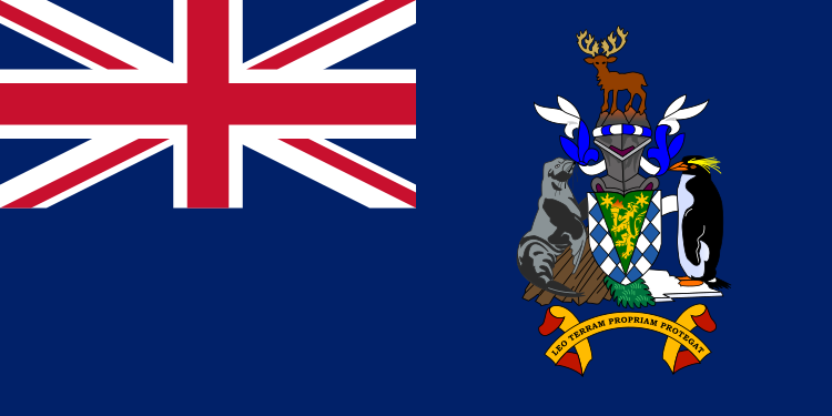
The flag of South Georgia is blue with the UK flag in the canton. The national coat of arms is centered on the fly half and has a green shield with a golden lion holding a torch. A fur seal is to the left of the shield and a Macaroni penguin to the right. A reindeer appears above the crest, and below the shield on a scroll is the Latin motto "LEO TERRAM PROPRIAM PROTEGAT" (Let the Lion Protect its Own Land).
Antarctic

South Georgia

South Georgia and the South Sandwich Islands

King Edward Point
0
Antarctic
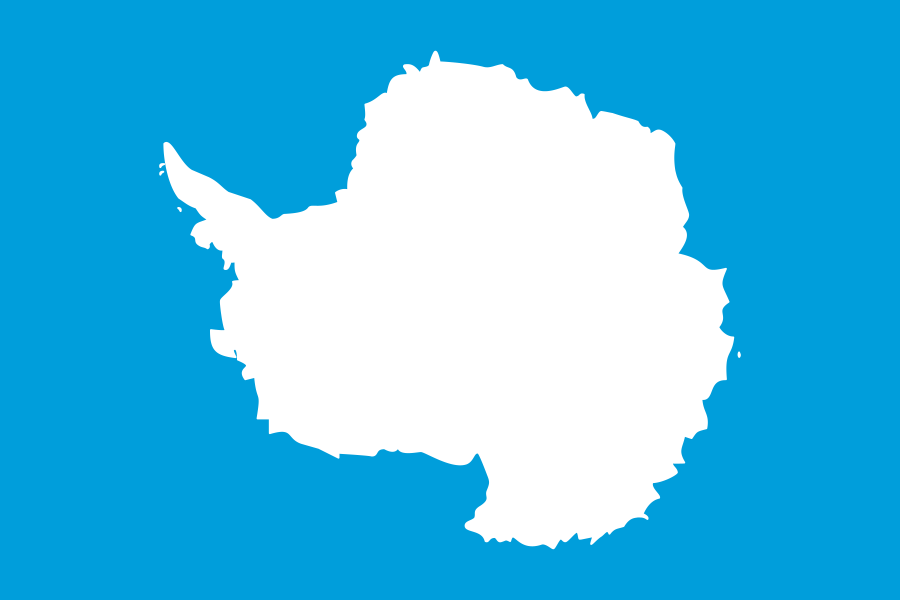
The flag of Antarctica features a plain white map of the country on a blue background.
Antarctic

Antarctica

Antarctica

N/A
1.3K
Antarctic
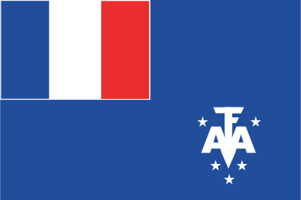
The flag of the French Southern and Antarctic Lands is blue and features the French tricolor in the canton, often displayed with a white border. In the lower fly, the letters T.A.A.F. form a monogram in white, which is stylized to resemble an anchor. The monogram is surrounded by five white stars.
Antarctic

French Southern and Antarctic Lands

Territory of the French Southern and Antarctic Lands

Port-aux-Français
400
Antarctic
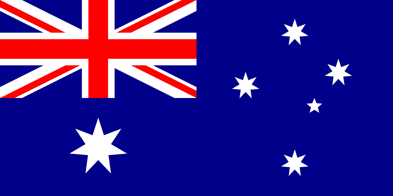
The flag of Heard Island and McDonald Islands has a dark blue field. It features the flag of the United Kingdom — the Union Jack — in the canton, beneath which is a large white seven-pointed star. A representation of the Southern Cross constellation, made up of one small five-pointed and four larger seven-pointed white stars, is situated on the fly side of the field.
Antarctic

Heard Island and McDonald Islands

Heard Island and McDonald Islands

N/A
0
Antarctic