NationLookup
Home
Countries
Compare
Explore
NationLookup

Your comprehensive resource for exploring detailed information about every country in the world. Discover demographics, geography, economy, and more.

Explore

  • All Countries
  • Rankings
  • Compare Countries

Popular Rankings

  • By Population
  • By Area
  • By Density
  • Largest Countries

Company

  • About Us
  • Contact Us
  • FAQ

Legal

  • Privacy Policy
  • Terms of Use
  • Disclaimer

© 2026 NationLookup. All rights reserved.

Data provided by REST Countries API

Home/Countries/Sint Maarten
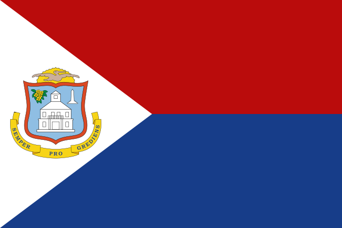
The flag of Sint Maarten features two equal horizontal bands of red and blue, with a white isosceles triangle based on the hoist side. The center of the triangle displays the national coat of arms with an orange-bordered blue shield that prominently displays a white courthouse, as well as yellow sage in the upper left and the silhouette of a monument in the upper right. Over the shield is a yellow rising sun and a brown pelican in flight. A yellow scroll below the shield has the Latin motto "SEMPER PROGREDIENS" (Always Progressing).
🇸🇽

Sint Maarten

Sint Maarten

Philipsburg
Americas
Caribbean
View on Google Maps

Population

41.3K

Area

34 km²

Region

Caribbean

Timezone

UTC-04:00

Currency

Netherlands Antillean guilder (ƒ)

Languages

English, French, Dutch

Capital

Philipsburg

UN Member

No

About Sint Maarten

Sint Maarten, commonly known as Sint Maarten, is a sovereign country located in Caribbean, Americas. The capital and seat of government is Philipsburg. Situated on the continent of North America, Sint Maarten covers a total area of 34 km², making it a relatively small country by global standards. Sint Maarten is a dependent territory.

The population of Sint Maarten is approximately 41,349 people. With a population density of 1216.1 people per square kilometer, Sint Maarten is one of the most densely populated places in the world. The people of Sint Maarten are known as St. Maarteners. Sint Maarten ranks 216th in the world by population.

Sint Maarten is located at approximately 18.0° latitude and -63.0° longitude. It shares land borders with Saint Martin, giving it 1 neighboring country. The country operates on the UTC-04:00 time zone.

The official languages of Sint Maarten are English, French, and Dutch. The international dialing code for Sint Maarten is +1721. The country's internet top-level domain is .sx.

The official currency of Sint Maarten is the Netherlands Antillean guilder (ƒ, ANG).

Population of Sint Maarten

Total Population

41,349

Population Density

1216.1 people/km²

Demonym

St. Maartener (male) / St. Maartener (female)

Geography of Sint Maarten

Total Area

34 km² (13 sq mi)

Region / Subregion

Americas / Caribbean

Coordinates

18.033333°, -63.05°

Continents

North America

Landlocked

No

Timezones

UTC-04:00

Bordering Countries

🇲🇫Saint Martin

Economy of Sint Maarten

Currencies

ƒ Netherlands Antillean guilder (ANG)

Government of Sint Maarten

Capital

Philipsburg

UN Member

No

Status

officially-assigned

Independent

No

Languages Spoken in Sint Maarten

EnglishFrenchDutch

Additional Information

Top-Level Domain

.sx

Calling Code

+1721

Driving Side

N/A

FIFA Code

N/A

ISO Codes

SX / SXM

Frequently Asked Questions About Sint Maarten

What is the population of Sint Maarten?

The population of Sint Maarten is approximately 41,349 people. With a total area of 34 km², the population density is about 1216.1 people per square kilometer. Sint Maarten ranks 216th in the world by population.

Where is Sint Maarten located?

Sint Maarten is located in Caribbean, on the continent of North America. Its geographic coordinates are approximately 18.0° latitude and -63.0° longitude. Sint Maarten shares borders with Saint Martin.

What is the capital of Sint Maarten?

The capital city of Sint Maarten is Philipsburg. As the political and administrative center, Philipsburg is the seat of the national government of Sint Maarten.

How big is Sint Maarten?

Sint Maarten covers a total area of 34 km² (13 square miles). This makes Sint Maarten a relatively small country by global standards.

What languages are spoken in Sint Maarten?

The official languages of Sint Maarten are English, French, and Dutch. The people of Sint Maarten are referred to as St. Maarteners.

What currency does Sint Maarten use?

Sint Maarten uses the Netherlands Antillean guilder (ƒ, ANG) as its official currency.

Is Sint Maarten a member of the United Nations?

No, Sint Maarten is not currently a member of the United Nations. Sint Maarten is classified as a dependent territory or non-sovereign entity.

What countries border Sint Maarten?

Sint Maarten shares land borders with 1 country: Saint Martin. These neighboring nations are also located in the Americas region.

What time zone is Sint Maarten in?

Sint Maarten operates in the UTC-04:00 time zone.

What are the key facts about Sint Maarten?

Sint Maarten (officially Sint Maarten) is a dependent country in Caribbean. It has a population of 41,349, covers 34 km², and its capital is Philipsburg. The official languages are English, French, and Dutch. The currency is Netherlands Antillean guilder.

Compare Sint Maarten with Other Countries

See how Sint Maarten compares in population, area, and other key metrics.

Sint Maarten vs United StatesSint Maarten vs ChinaSint Maarten vs IndiaSint Maarten vs GermanySint Maarten vs United Kingdom

Other Countries in Americas

Explore more countries in the Caribbean region.
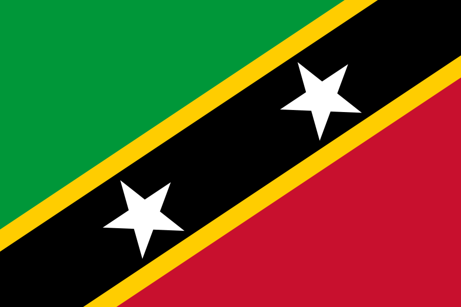
The flag of Saint Kitts and Nevis features two large five-pointed white stars within a yellow-edged black diagonal band that extends from the lower hoist-side corner to the upper fly-side corner of the field. Above and beneath this band are a green and red triangle respectively.
Americas

Saint Kitts and Nevis

Federation of Saint Christopher and Nevis

Basseterre
51.3K
Americas
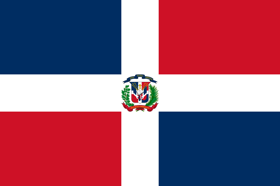
The flag of the Dominican Republic is divided into four rectangles by a centered white cross that extends to the edges of the field and bears the national coat of arms in its center. The upper hoist-side and lower fly-side rectangles are blue and the lower hoist-side and upper fly-side rectangles are red.
Americas

Dominican Republic

Dominican Republic

Santo Domingo
10.77M
Americas
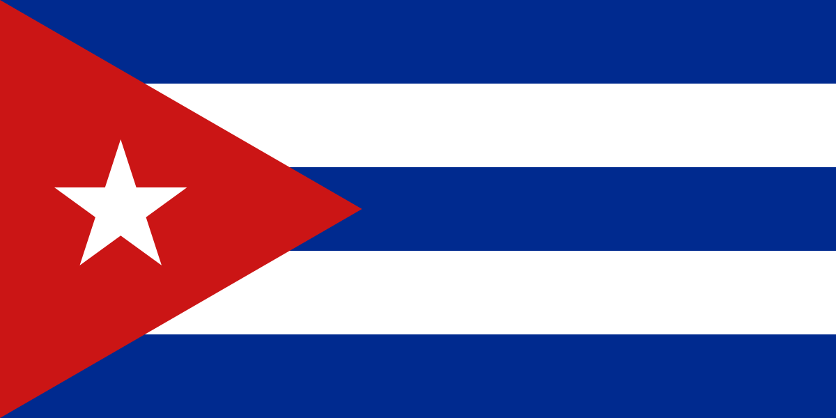
The flag of Cuba is composed of five equal horizontal bands of blue alternating with white and a red equilateral triangle superimposed on the hoist side of the field. The triangle has its base on the hoist end, spans about two-fifth the width of the field and bears a white five-pointed star at its center.
Americas

Cuba

Republic of Cuba

Havana
9.75M
Americas
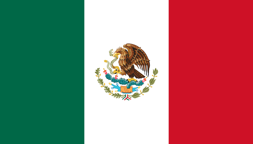
The flag of Mexico is composed of three equal vertical bands of green, white and red, with the national coat of arms centered in the white band.
Americas

Mexico

United Mexican States

Mexico City
130.58M
Americas
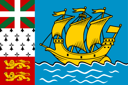
The flag of Saint Pierre and Miquelon features a yellow three-masted sailing ship facing the hoist side riding on a blue background with wavy white lines. A black-over-white wavy line divides the ship from the white wavy lines. On the hoist side, a vertical band is divided into three heraldic arms: the top is red with a green diagonal cross extending to the corners and overlaid with a white cross, the middle is white with an ermine pattern, and the bottom is red with two yellow lions outlined in black.
Americas

Saint Pierre and Miquelon

Saint Pierre and Miquelon

Saint-Pierre
5.8K
Americas
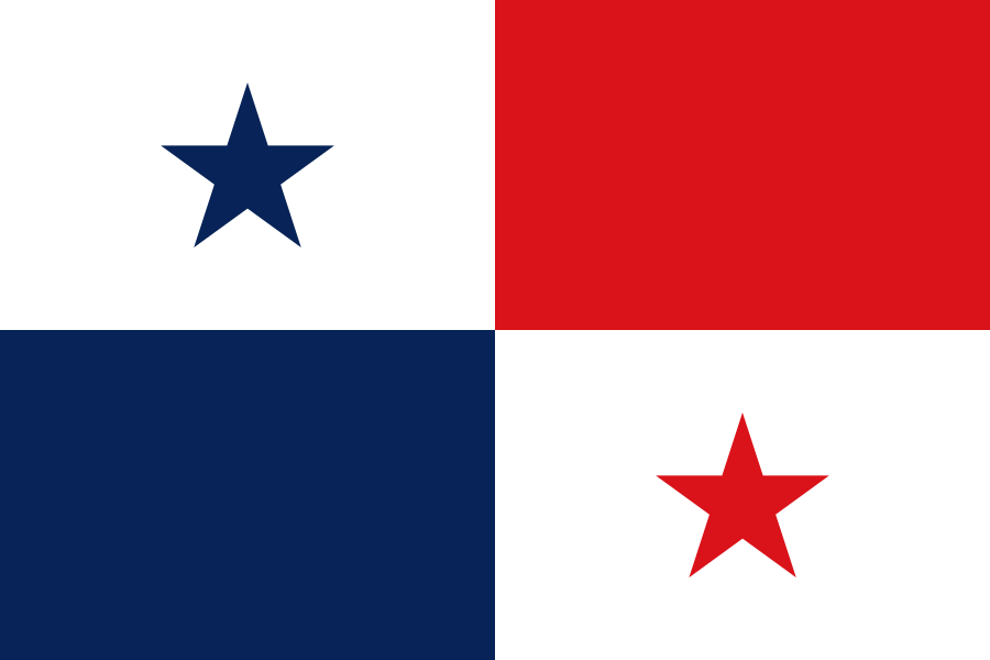
The flag of Panama is composed of four equal rectangular areas — a white rectangular area with a blue five-pointed star at its center, a red rectangular area, a white rectangular area with a red five-pointed star at its center, and a blue rectangular area — in the upper hoist side, upper fly side, lower fly side and lower hoist side respectively.
Americas

Panama

Republic of Panama

Panama City
4.06M
Americas