Population
20.73M
Area
118,484 km²
Region
Eastern Africa
Timezone
UTC+02:00
Currency
Malawian kwacha (MK)
Languages
English, Chewa
Capital
Lilongwe
UN Member
Yes
About Malawi
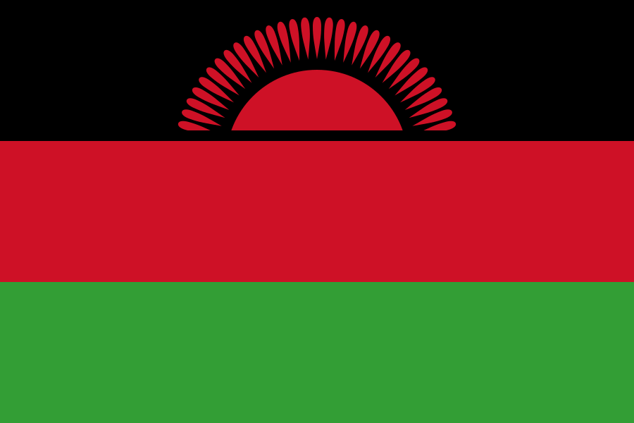
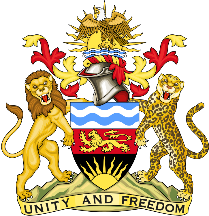
Republic of Malawi, commonly known as Malawi, is a sovereign landlocked country located in Eastern Africa, Africa. The capital and seat of government is Lilongwe. Situated on the continent of Africa, Malawi covers a total area of 118,484 km², making it a sizable country by global standards. Malawi is an independent nation and a member state of the United Nations.
The population of Malawi is approximately 20,734,262 people. With a population density of 175.0 people per square kilometer, Malawi is moderately populated. The people of Malawi are known as Malawians. Malawi ranks 62nd globally by population.
Malawi is located at approximately -13.5° latitude and 34.0° longitude. It shares land borders with Mozambique, Tanzania, and Zambia, giving it 3 neighboring countries. Being landlocked, Malawi has no direct access to the open sea. The country operates on the UTC+02:00 time zone.
The official languages of Malawi are English and Chewa. The international dialing code for Malawi is +265. The country's internet top-level domain is .mw.
The official currency of Malawi is the Malawian kwacha (MK, MWK).
Population of Malawi
Total Population
Population Density
Demonym
Geography of Malawi
Total Area
Region / Subregion
Coordinates
Continents
Landlocked
Timezones
Bordering Countries
Economy of Malawi
Currencies
Government of Malawi
Capital
UN Member
Status
Independent
Languages Spoken in Malawi
Additional Information
Top-Level Domain
Calling Code
Driving Side
FIFA Code
ISO Codes
Frequently Asked Questions About Malawi
What is the population of Malawi?
The population of Malawi is approximately 20,734,262 people. With a total area of 118,484 km², the population density is about 175.0 people per square kilometer. Malawi ranks 62nd globally by population.
Where is Malawi located?
Malawi is located in Eastern Africa, on the continent of Africa. Its geographic coordinates are approximately -13.5° latitude and 34.0° longitude. Malawi shares borders with Mozambique, Tanzania, and Zambia.
What is the capital of Malawi?
The capital city of Malawi is Lilongwe. As the political and administrative center, Lilongwe is the seat of the national government of Republic of Malawi.
How big is Malawi?
Malawi covers a total area of 118,484 km² (45,747 square miles). This makes Malawi a sizable country by global standards. Malawi is a landlocked country with no coastline.
What languages are spoken in Malawi?
The official languages of Malawi are English and Chewa. The people of Malawi are referred to as Malawians.
What currency does Malawi use?
Malawi uses the Malawian kwacha (MK, MWK) as its official currency.
Is Malawi a member of the United Nations?
Yes, Malawi is a recognized member state of the United Nations. It is an internationally recognized sovereign nation with full UN membership rights.
What countries border Malawi?
Malawi shares land borders with 3 countries: Mozambique, Tanzania, and Zambia. These neighboring nations are also located in the Africa region.
What time zone is Malawi in?
Malawi operates in the UTC+02:00 time zone.
What are the key facts about Malawi?
Malawi (officially Republic of Malawi) is a sovereign landlocked country in Eastern Africa. It has a population of 20,734,262, covers 118,484 km², and its capital is Lilongwe. The official languages are English and Chewa. The currency is Malawian kwacha.
Other Countries in Africa
Explore more countries in the Eastern Africa region.